

New Delhi, India
India has supported a United Nations General Assembly resolution promoting the use of equal-area global maps, while once again making its position clear on its sovereignty and territorial integrity concerning Jammu and Kashmir and Ladakh. The Ministry of External Affairs said that India’s support for the resolution should not be interpreted as recognition of any particular world map or map projection.
According to the Ministry of External Affairs, the resolution adopted by the UN General Assembly does not call for the adoption or endorsement of any specific map. It also does not make any determination regarding political mapping related to international boundaries, disputed territories or place names. India supported the resolution on this basis while simultaneously clarifying its position.
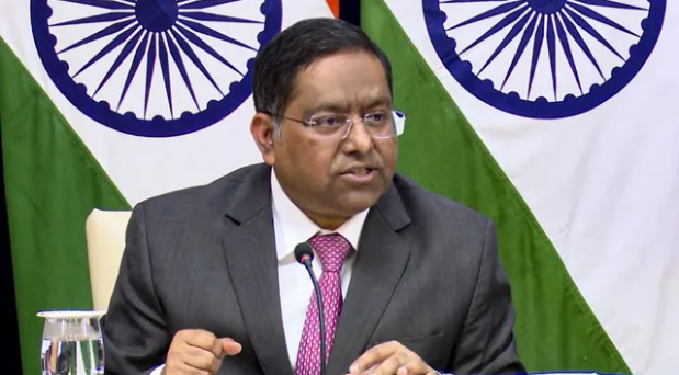
MEA spokesperson Randhir Jaiswal said that India’s sovereign territory, including the Union Territories of Jammu and Kashmir and Ladakh, should be depicted strictly in accordance with India’s official map. He made it clear that any inaccurate or misleading depiction of Indian territory is unacceptable. India’s position on its sovereignty and territorial integrity, he said, remains clear, consistent and unchanged.
Resolution Adopted by UN General Assembly with Overwhelming Majority
On September 4, the United Nations General Assembly adopted a resolution concerning the representation of the world on global maps. The resolution aims to promote fairer and more comparable representation of different regions of the world, particularly Africa, in global maps.
A total of 164 countries voted in favor of the resolution, while only one country voted against it. The resolution encourages the use and consideration of map projections that more accurately represent the comparative relationship between the actual areas of different regions of the Earth.
Some traditional world map projections can make regions located farther from the equator appear significantly larger than their actual size. Equal-area map projections seek to reduce such distortions and present the sizes of different regions in a more comparable manner.
India Did Not Endorse Any Specific Map
While explaining its vote, India made it clear that its support for the resolution should not be interpreted as acceptance of any particular mapping system or projection. The Indian side said the vote should be viewed only as support for the broader use and consideration of equal-area map projections and their alternatives.
Indian diplomat Raghu Puri said India does not view its support for the resolution as an endorsement of any one specific mapping system, including the “Equal Earth” projection. According to him, the primary objective of the resolution is to encourage the broader use and consideration of equal-area maps.
India’s clarification comes at a time when the depiction of national borders and territories on maps remains a sensitive issue on international platforms. India has consistently maintained that Jammu and Kashmir and Ladakh are part of its sovereign territory and that any inaccurate or misleading representation of these territories in official maps is unacceptable.
Thus, while supporting the UN resolution on global map representation and the broader concept of equal-area maps, India has also made clear that its vote should not be interpreted as having any bearing on its national borders or territorial claims.